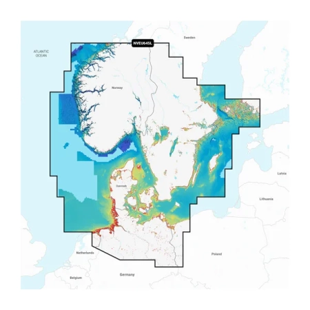
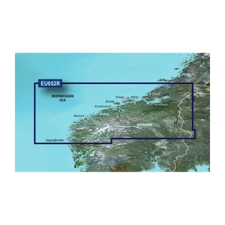
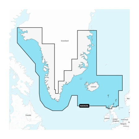
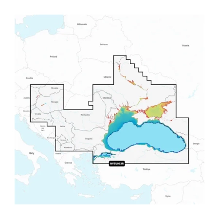
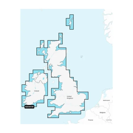
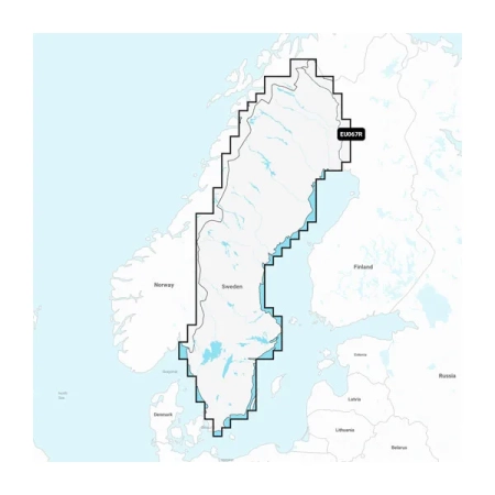
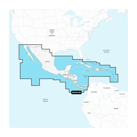
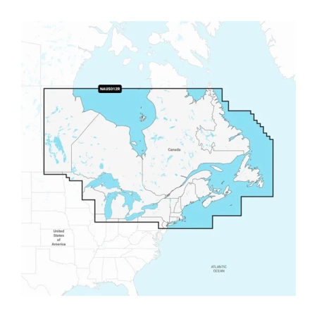
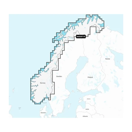
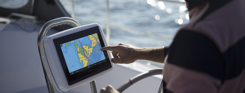
Navionics is a company that specializes in electronic navigation charts and related software for marine and outdoor activities. They are well-known for their digital cartography products that are used by boaters, fishermen, and outdoor enthusiasts. Navionics provides navigational charts and maps that cover a wide range of water bodies, including oceans, lakes, and rivers.
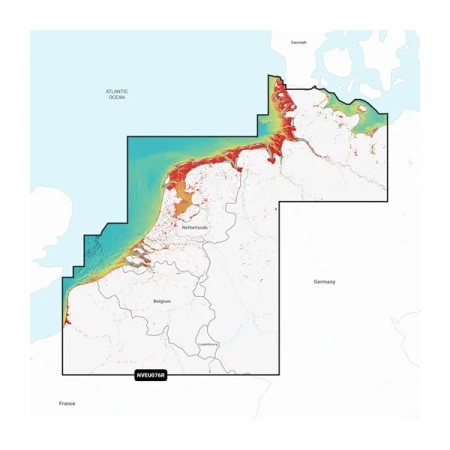
Navionics charts are designed to be used with various GPS chartplotters and mobile devices. These charts are highly detailed and offer information on water depths, underwater features, buoy locations, marinas, and other important data for safe and efficient navigation. Users can access real-time data, plan routes, and track their positions using Navionics software and compatible hardware.
Navionics has played a significant role in advancing electronic navigation for boaters and has helped make marine navigation more accurate and accessible. Over the years, the company has expanded its offerings and incorporated innovative features such as sonar data integration and community-sourced content to enhance the user experience.